FY-4A Satellite
Description
1st flight unit of the FY-4 series.
Mission objectives:
- Support nowcasting and severe weather warning.
- Support NWP (numerical weather prediction), regional and global.
- Support climate applications.
- Support environment and disaster monitoring.
| Orbit | Geostationary orbit |
|---|---|
| Altitude | 35786 km |
| Position | 104.7°E (before 2024-03-05), 86.5°E (from 2024-05-01 to 2025-01-21), 123.5°E (after 2025-02-18) |
| Mass at launch | approx. 5400 kg |
| Power | 3200 W |
| Launch | 2016-12-11 |
| End of service | 2024-03-05 |
Instruments
| Picture | Acronym | Full name |
|---|---|---|
|
AGRI | Advanced Geostationary Radiation Imager |
|
GIIRS | Geostationary Interferometric Infrared Sounder |
|
LMI | Lightning Mapping Imager |
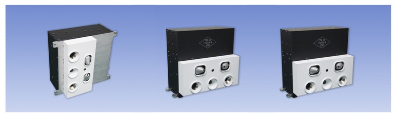
|
SEP | Space Environment Monitoring Instrument Package |
Data Circulation
CDAS (Command and Data Acquisition Station) for real-time acquisition of the full information.
HRIT (High Rate Information Transmission) for near-real time broadcasting full resolution images.
LRIT (Low Rate Information Transmission) for broadcasting a selection of images and weather warning information.
DCS (Data Collection Service) to relay messages from self-timed DCP (Data Collection Platform).
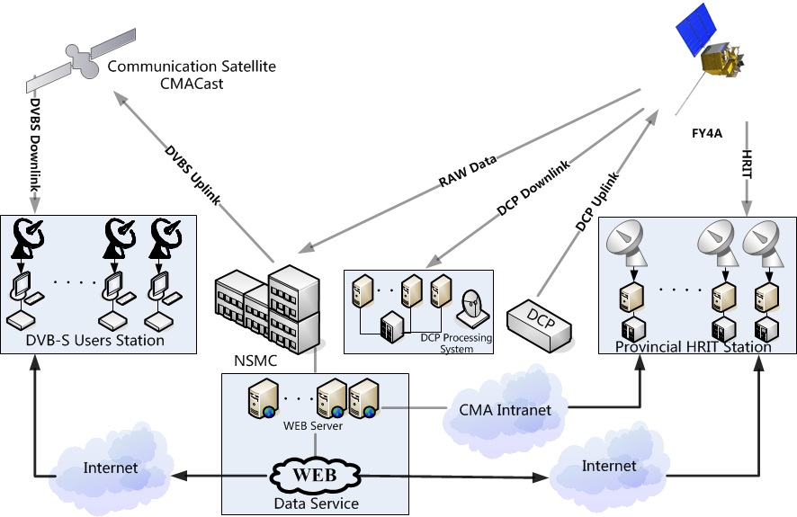
Information flow of FY-4A data.
Products
| Instrument | Datasets |
|---|---|
| AGRI | Search |
| GIIRS | Search |
| LMI | Search |
Gallery
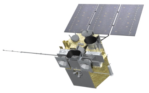
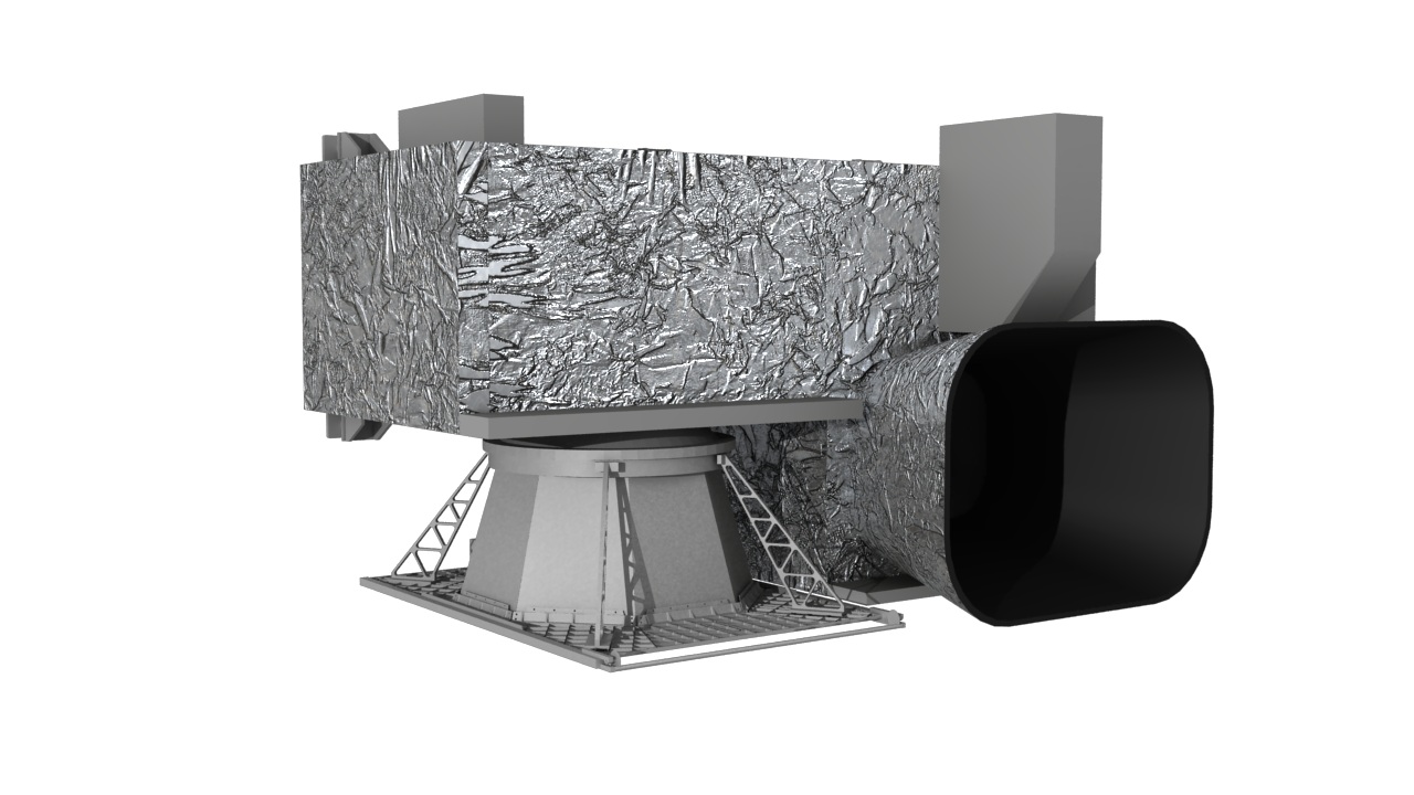
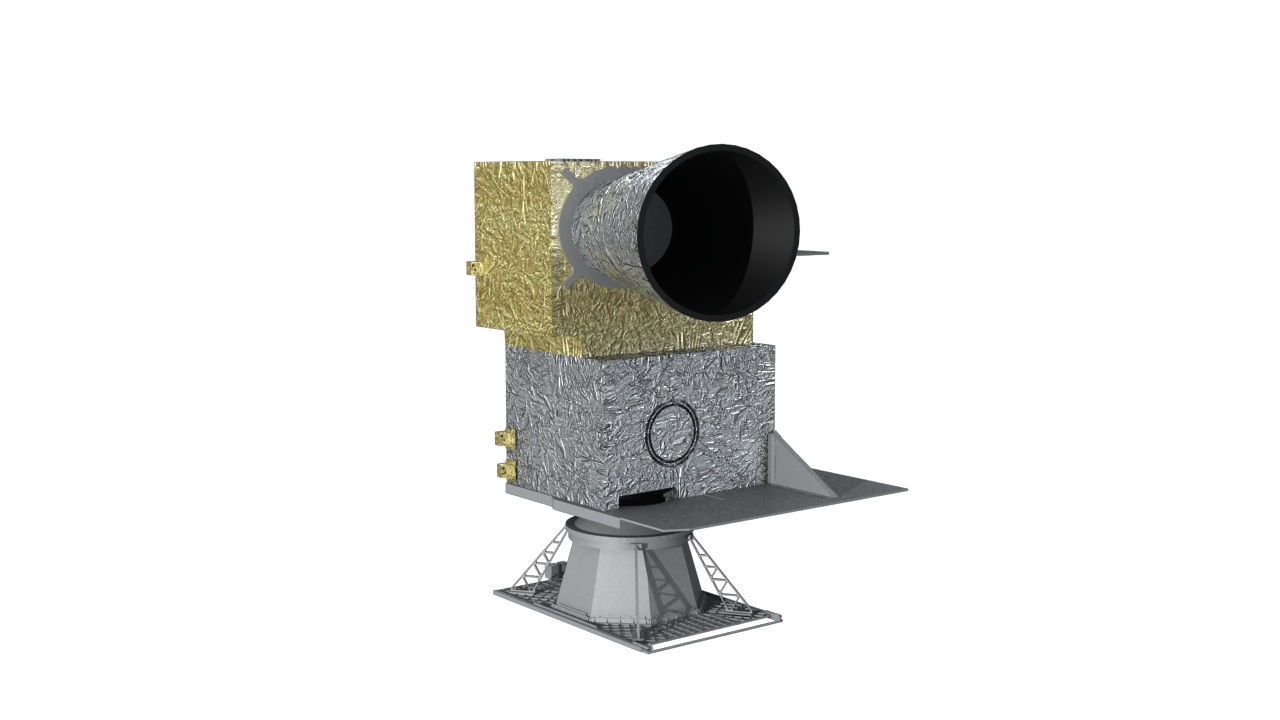
FY-4A satellite
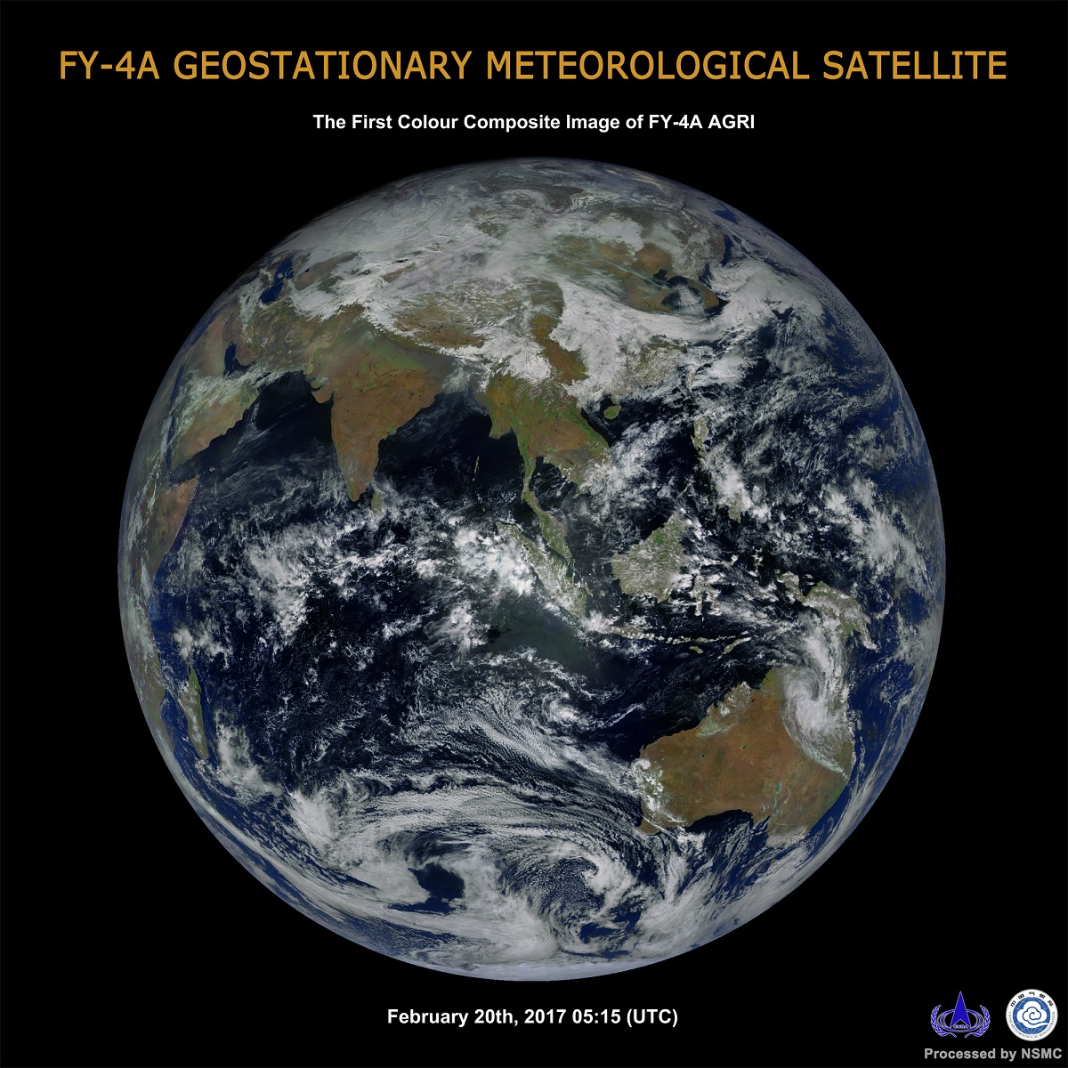
First color image by FY-4A
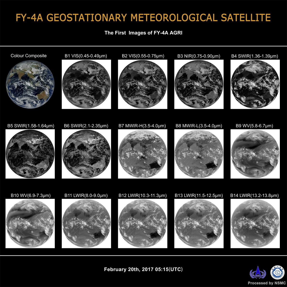
First image by FY-4A AGRI
Operational Parameters
Related Links
