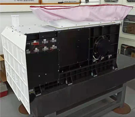
Description
Medium Resolution Spectral Imager-Rainfall Mission (MERSI-RM) has simplified channels from
MERSI-II, which performs accurate
cloud and precipitation observations in cooperation with the active radar and other
microwave instruments.
| Satellite |
FY-3G
|
| Number of Channels |
8 |
| Spatial Resolution |
500m |
Characteristics
| No. |
Center wavelength(μm) |
Bandwidth(nm) |
Spatial resolution (m) |
Minimum/expected sesitivity (SNR or NEΔT) |
Minimum/expected accuracy (% or T) |
Main purpose |
| 1 |
0.650 |
50 |
500 |
150 |
5% / 3% |
Vegetation, True color (red) |
| 2 |
0.865 |
50 |
500 |
150 |
5% / 3% |
Vegetation, Land/Cloud margin |
| 3 |
0.940 |
50 |
500 |
300 |
5% / 3% |
Water vapor |
| 4 |
1.38 |
30 |
500 |
150 |
5% / 3% |
Cirrus |
| 5 |
1.64 |
50 |
500 |
400 |
5% / 3% |
Snow and ice |
| 6 |
3.8 |
180 |
500 |
0.25K |
0.4K / 0.2K |
LST, SST, Cloud properties |
| 7 |
10.8 |
1000 |
500 |
0.10K |
0.4K / 0.2K |
LST, SST, Cloud properties |
| 8 |
12.0 |
1000 |
500 |
0.10K |
0.4K / 0.2K |
LST, SST, Cloud properties |
Data and Products
| Satellite |
Instrument |
Datasets |
| FY-3G |
MERSI-RM |
Search
|
Calibration and Validation
MERSI-RM calibration and validation
MERSI-RM SRF (ZIP)